Intermediate Hikes in Crested Butte and Gunnison
Discover intermediate Colorado hikes in Gunnison and Crested Butte:
Crested Butte and Gunnison offer dozens of intermediate hikes across diverse landscapes, from alpine lakes and wildflower meadows to sagebrush-covered rock formations. These trails provide a mix of moderate climbs, scenic vistas and unique local environments suitable for hikers with some experience. Planning ahead, following trail etiquette, and preparing for changing weather ensures a safe and enjoyable experience.
- Popular intermediate hikes in Gunnison include Mill Lake Trail, West Beaver Creek Trail, Gold Creek Trail and Hartman Rocks trails (Bambi’s, Graceland, Josho’s).
- In Crested Butte, notable moderate hikes are Green Lake Trail, Oh Be Joyful Trail and Snodgrass Trail.
- Trails often overlap with other recreational activities like mountain biking, gravel biking, horseback riding and OHV use.
- Always follow Leave No Trace principles, stay on marked trails, and be prepared with water, snacks, and weather-appropriate gear.
- Check for seasonal closures and private property signs, especially on trails like Snodgrass.
______________________________________________________________________________________
With more than 1200 miles of trails and two million acres of public lands here, there are dozens of intermediate hikes in Crested Butte and Gunnison to choose from. To help you plan your summer trip to Colorado, we’ve compiled a list of some of the best intermediate hiking trails in the Gunnison Valley.
Hiking tips
There are a few things you can do to help have an enjoyable hiking trip. Plan your route ahead of time and make sure you pack snacks, sunscreen and water. Colorado often receives afternoon thunderstorms in the summer so check the weather and plan accordingly. Stay on the trail to avoid getting lost or damaging the environment. Pack all trash out and don’t litter. Leave rocks, flowers, feathers and plants behind for the next person to enjoy. If you plan to have a campfire know if there are any fire bans in place. Check our Travel Alerts page for information about fires. Never approach or feed wildlife. Be considerate of others by sharing the trail. If you plan to hike with your dog clean up after them and follow all leash laws. Learn more about Leave No Trace and recreating safely on our Responsible Travel page.
What are intermediate hikes in Gunnison?
There are a few areas available for hiking in Gunnison. Hartman Rocks, Fossil Ridge Wilderness and Curecanti National Recreation Area all have moderate hikes.
Mill Lake Trail – Moderate – 2.5 miles
Take Highway 50 east to Parlin. Turn left at Parlin and go about 8 miles to Ohio City. Turn left on Gold Creek Road to Fossil Ridge Trailhead, which provides access to Mill Lake Trail on the left side of the road. This trail is in the Fossil Ridge Wilderness. The first mile of this trail is on Fossil Ridge Trail before intersecting with Mill Lake Trail. Walk 1.5 miles to Mill Lake. Mill Lake sits at an elevation of 11,480 feet.
West Beaver Creek Trail – Moderate – 7 miles
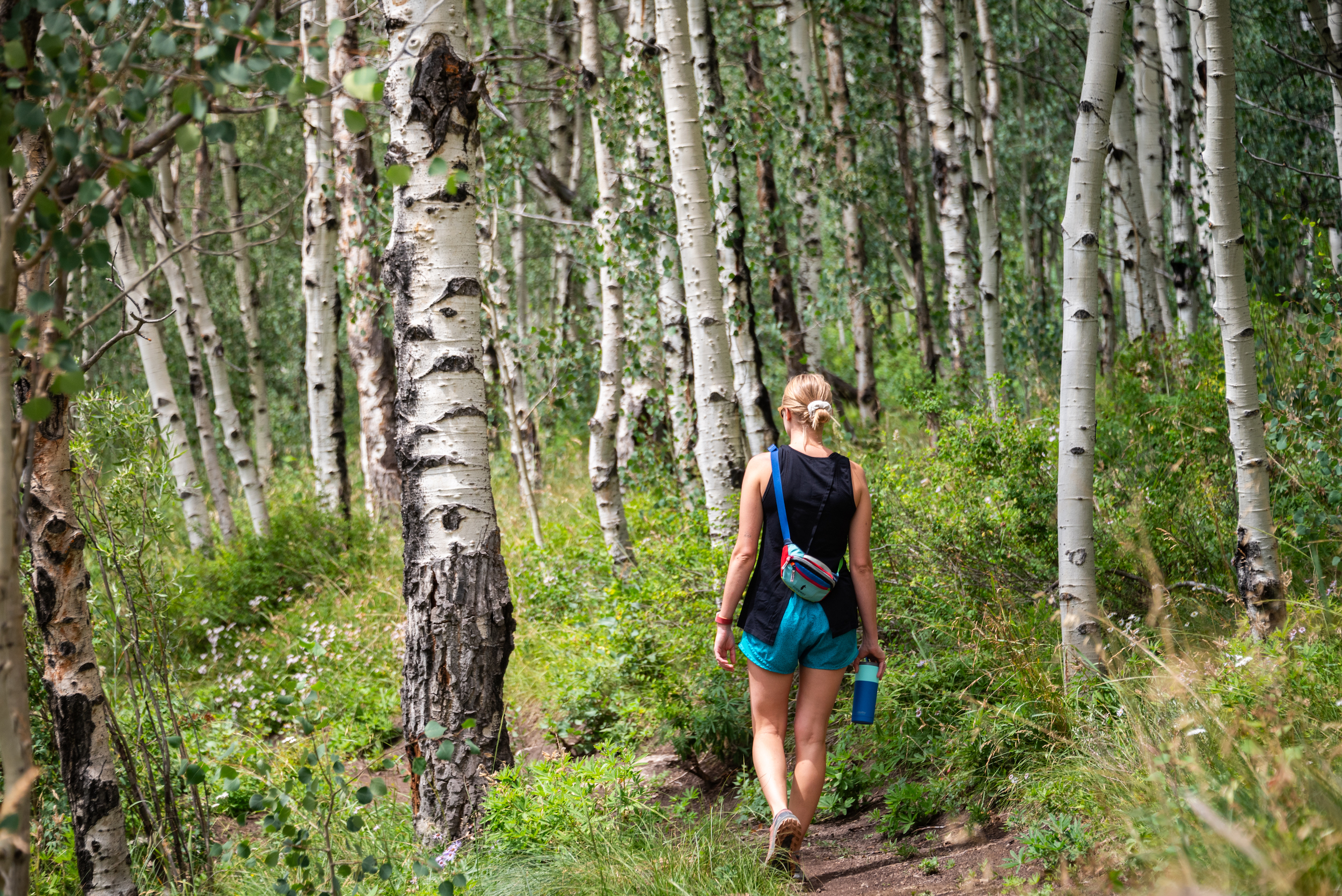
This trail is in the West Elk Wilderness. Access it off Highway 50 at the Cooper Ranch site. From there turn right on Beaver Creek Road and travel north 2.5 miles to the D.O.W. House. Park at the house. The trailhead is in another 2 miles and can be accessed by hiking. The trail gradually climbs along Beaver Creek Valley, meandering through aspen and pine forests. Towards the end of West Beaver Creek trail, you will intersect with Beaver Creek Trail near the old cabin. You can continue on Beaver Creek Trail or turn back.
Gold Creek Trail – Moderate – 5 miles
Access this trail from Gold Creek Road, which is in Ohio City off Highway 50 east. The trailhead is at the end of the Gold Creek Road and may require 4-wheel drive to access. This single-track trail is in Fossil Ridge and gives hikers beautiful views into Fossil Ridge and Pitkin. The trail climbs to Shaw Ridge where it intersects with Cameron Gulch Trail #549. To stay on Gold Creek Trail turn left and descend from the ridge into Gold Creek drainage. The trail will run parallel to Gold Creek for 2 miles before ending back at Gold Creek Road.
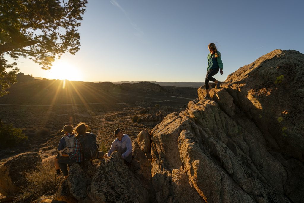
What are moderate hikes at Hartman Rocks?
Hartman Rocks Recreation Area is outside the town of Gunnison. It is mostly managed by the Bureau of Land Management. This area is a popular spot for mountain biking, but also offers a unique alpine desert hiking experience. The area is characterized by fields of sage brush and distinct rock formations. Do just one trail for a quick hike or link several together for a longer one. You’ll share the trails and roads with mountain bikers, e-bikers, gravel bikers, OHV users, horseback riders, and trail runners.
Bambi’s Trail – Intermediate– 1.4 miles
This trail is located south of Powerline Road. You can use it to access other trails in this area. You start with a gradual uphill through sage, aspens and rock formations. The higher you go the better the view becomes! The downhill on the way back is a little technical but becomes smooth towards the end.
Graceland Trail – Moderate – 3 miles
This trail follows a ridge on the north edge of Hartman Rocks. The trail winds through sagebrush and around massive rock formations that are characteristic of Hartman Rocks. If hiked in a clockwise direction, you’ll begin with a descent before the trail switchbacks east and then north up a hill. At the top of the hill, you could descend by High Five or stay left and continue ascending. After passing the trail’s high point near Cat’s Castle you’ll begin to descend. Head south and hike up to the end of Water Treatment to finish.
Josho’s Trail – Moderate – 2.2 miles
Josho’s is on the southeast side of Hartman Rocks. The first half mile is a gradual ascent to the top of a hill. Once there you’ll hike downhill for almost a mile. The lower part of the trail is lined with tall trees and aspens, which is a change from the typical scenery of Hartman’s. From this area you’ll hike back uphill to Powerline Road.
What are moderate hikes in Crested Butte?
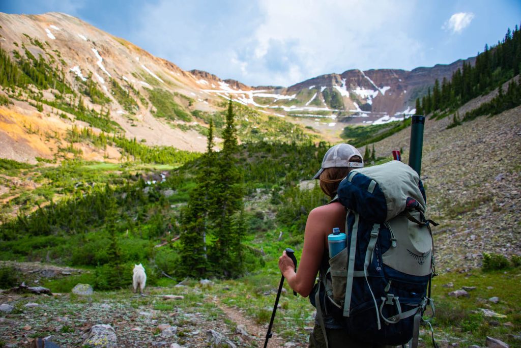
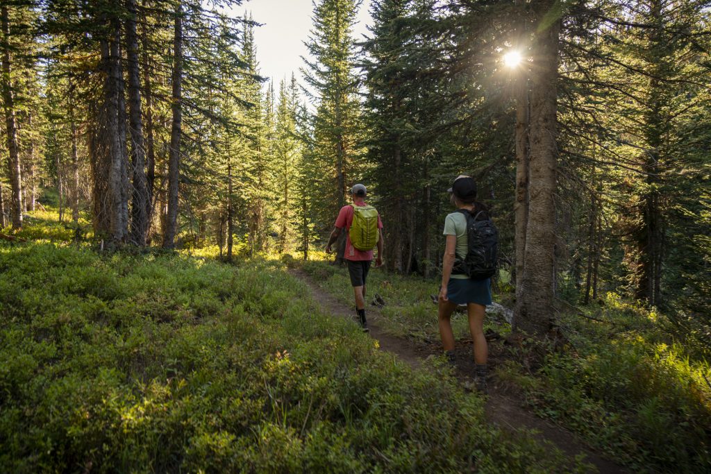
There are many options for hiking around Crested Butte. The Elk Mountains and the West Elk, Raggeds, and Maroon Bells-Snowmass Wilderness areas all surround Crested Butte. The townsite of Gothic is also the starting point of many beautiful hikes. There are many hikes close to town in Crested Butte as well. The hiking in Crested Butte is high alpine. You’re sure to see beautiful vistas, hike through meadows full of wildflowers and pass by alpine lakes.
Green Lake Trail – Moderate – 4 miles
This trail begins near the Crested Butte Nordic Center, which is located at 2nd Avenue and Whiterock Avenue. To access the trail head southeast behind the Nordic Center and take a right at the trail sign. In half a mile take a left to the Green Lake Trail singletrack. Switchback uphill through dark timber. Once this turns into a road take a right. From there you’ll walk half a mile until taking a left onto more switchbacks. The trail will begin to open up before reaching Green Lake. Once you’ve enjoyed your time at the lake head back down the same way. Some of this trail goes through private property, so please remain on the marked trail.
Oh Be Joyful Trail –Moderate – 5.8 miles
To access this trail head north on Gothic Road and take a left on Slate River Road just outside of Crested Butte. Drive 4.5 miles on the well-maintained dirt road and look for the Oh-Be-Joyful Campground turn-off on your left. The trailhead is at the campground. The trail begins on an old mining road up above the side of Oh Be Joyful Creek. There is a brief, but steep, climb. This will take you to an overlook of a large slide where you can get on the trail. For about ¾ mile there are views of several large waterfalls. The trail will begin to flatten out and you’ll cross the wilderness boundary. You can continue to the base of Daisy Pass or Blue Lake or turn around and head back to the campground whenever you choose.
Snodgrass Trail – Moderate – 3 miles (Trail closed for grazing in late August, please read posted signs)
To access this trail travel two miles past the ski area at Mt. Crested Butte on Gothic Road. The trailhead is on the left side of Gothic Road.
At the trailhead, cross over the fence on Snodgrass Road. After about half a mile the trail intersects with a road. Turn left and follow the trail west to Washington Gulch Road. This trail takes you through fields of wildflowers and in and out of aspen and pine groves. There are also beautiful views of Crested Butte Mountain along the way. Watch for stop signs denoting private land.
Things to do in Gunnison and Crested Butte
These trails and public lands can also be used for mountain biking, horseback riding, gravel biking, OHV and, in some places, e-biking. In the winter some of them can be used for fat biking and Nordic skiing as well. Before heading out on any activity be sure you know all the rules and regulations for the trail and abide by them. Always follow Leave No Trace to keep the trails healthy and able to be used for many years to come.
Plan your trip
You’ll need a comfortable bed to rest in after a day on the trails. Gunnison and Crested Butte have lodging that varies from traditional hotels to resorts to small family-run inns. If you’re planning on camping, check out the camping rules and regulations in Crested Butte and Gunnison before you go. You can also enjoy local restaurant and shopping options after a day outside. If you need a break from hiking check out the other things to do in the valley. Make sure you plan how to get here too.
