Campfire and wildlife info

Gunnison Valley Weather Cams
Live Weather Conditions
Wondering about current conditions on Highway 50 and Highway 135? Visit our webcams page to see current weather conditions in Gunnison, Almont and Crested Butte.
ROAD CONDITIONS
Check COTrip before driving through the mountains
COTrip offers live updates, traffic reports, travel alerts and webcams on road conditions across Colorado. Information on seasonal road closures, including Cottonwood Pass, Schofield Pass and Kebler Pass, can also be found on COTrip. The site also includes info on road construction, road damage and other timely issues that could affect travel.

Touring near Gunnison, Pitkin, Taylor Park or Monarch Pass? These areas fall in the forecast zone for the Colorado Avalanche Information Center. Check their website for daily avalanche and weather forecasts.
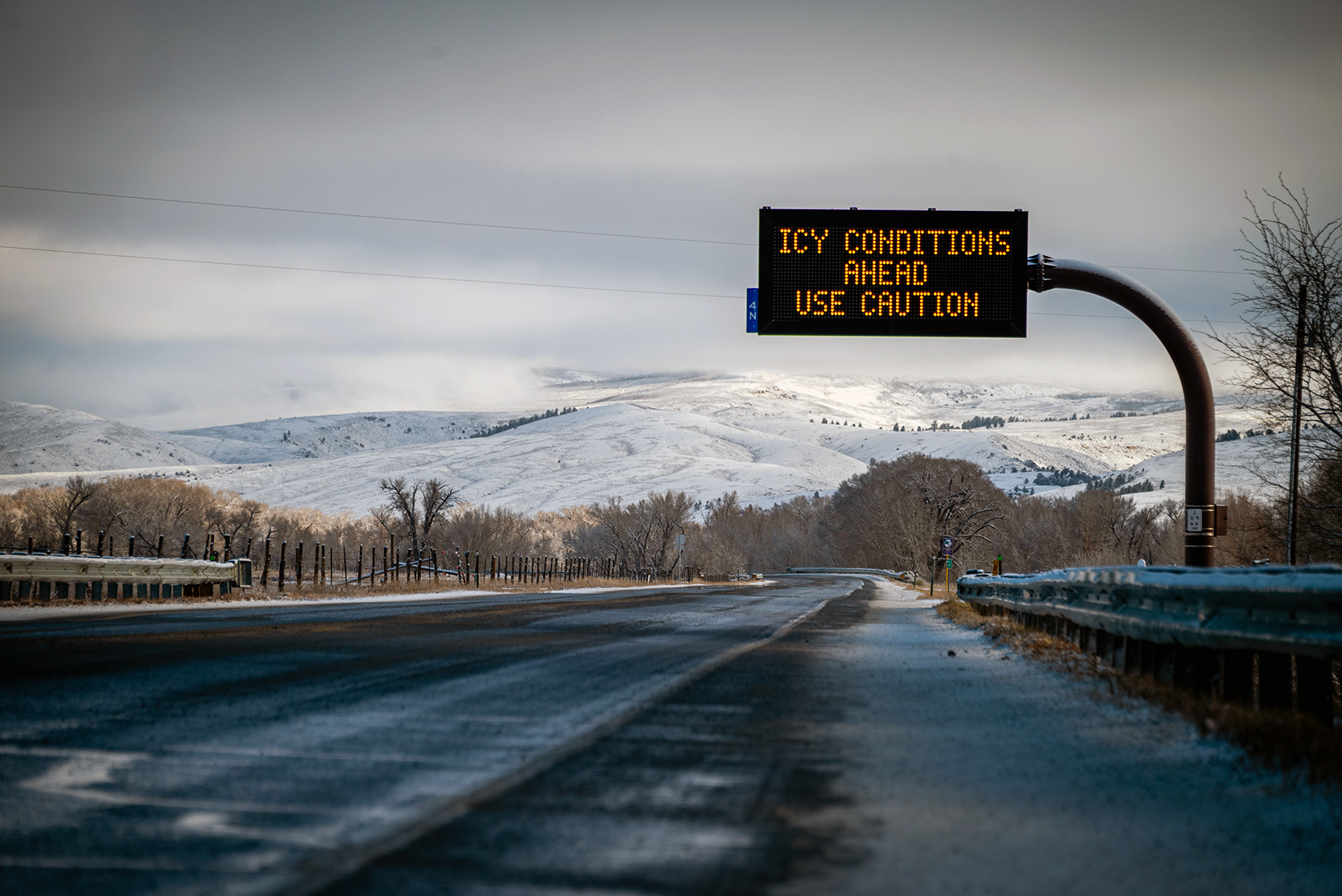
WINTER DRIVING
TIPS FOR DRIVING IN SNOW AND OBEYING COLORADO’S TRACTION LAW
Did you know Colorado has a law about traction requirements for your vehicle’s tires? View the PDFs below to learn more about how to drive safely in winter conditions and how to prepare your vehicle for snowy roads.