Favorite Hikes at Hartman Rocks
Discover hikes at Hartman Rocks in Gunnison:
Explore Gunnison’s high desert at Hartman Rocks, where 14,000 acres of BLM land offer over 45 miles of trails through granite formations and sagebrush hills. From mellow family walks to challenging scrambles, it’s a year-round destination for hikers, bikers and adventurers.
- Scenic Terrain: Rolling sagebrush, billion-year-old granite and sweeping mountain views.
- Top Hikes: Jack’s Trail (2 mi), Bambi’s & Sawtooth Loop (3.1 mi), The Ridge Trail (1.2 mi) and Aberdeen Loop (8.2 mi).
- Dog-Friendly: Leashed or under voice control; pack out waste.
- Best Time to Visit: Early morning or evening in summer and fall to avoid midday heat.
- Bring: Water, sun protection, good shoes and a map.
- Multi-Use Area: Shared with bikers, climbers, skiers and horseback riders.
- Nearby Options: After Hartman Rocks, explore Mill-Castle Trail, Lamphier Lake, or Crystal Creek for alpine and canyon adventures.
__________________________________________________________________________________
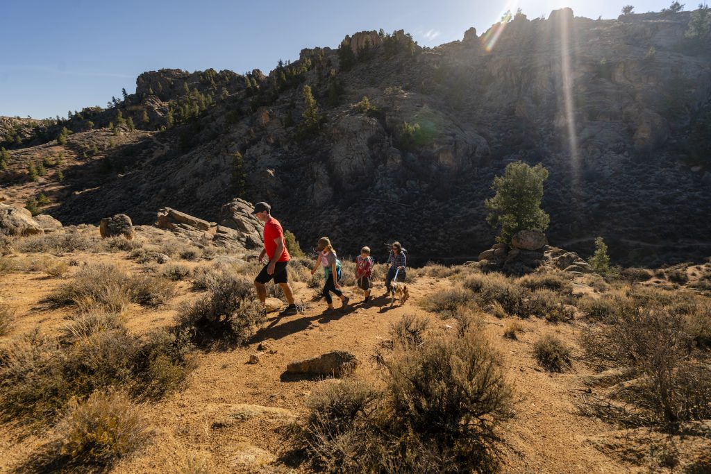
Experience the high desert on a favorite hike at Hartman Rocks. This Bureau of Land Management land near Gunnison attracts many types of users. Though most popular with mountain bikers and dirt bikers, Hartman Rocks offers adventures for hikers, too. Go on a short hike through massive rock formations, or link trails together for a longer cross-country hike. Keep reading to learn more about how the trails at Hartman Rocks fit into the Gunnison Valley’s mosaic of hiking routes.
Hiking at Hartman Rocks
Hartman Rocks boasts over 14,000 acres of public land a few miles southwest of Gunnison. Forty-five miles of singletrack trails provide opportunities to explore on foot. Hartman Rocks Recreation Area is just four miles southwest of Gunnison, providing easy access to trails. Wander through rolling sagebrush hills, granite outcroppings and open vistas on Hartman Rocks hiking trails.
Trails range from flowy and smooth to steep and rocky. Whether you’re seeking a short walk or a more challenging trek, Hartman Rocks delivers an unforgettable outdoor experience.
How to get to Hartman Rocks
Main parking lot (east side):
Hartman Rocks is about a 10-minute drive from Gunnison. Head west on Highway 50 for 1.6 miles. Turn left onto County Road 38 (Gold Basin Road) and drive for about two miles. Hartman Rocks and the main parking area is on the right.
Back entrance (west side):
McCabes, the back entrance, is west on Highway 50. Take a left onto CR 32 in four miles. Take the turnoff past a gravel pit and continue for about .5 miles to the parking area.
Favorite hikes at Hartman Rocks
Hartman Rocks on Trailforks.com
Jack’s Trail – Moderate, 2-miles round trip
This favorite hike at Hartman Rocks begins right next to the pit toilets at the main parking area. This is a fun, short trail that can be done on its own or linked to others for a longer hike. Walk on the meandering trail of sagebrush to the top of a ridge. Gain a couple hundred feet in elevation for a short and invigorating climb.
Connect to many other trails at Hartman Rocks from here. The view from the top of the trail is expansive. Take in the surrounding peaks, Hartman Rock’s iconic formations and the town of Gunnison. Head back the way you came to finish the hike. Or connect to another trail from the top of the hill.
Bambi’s and Sawtooth Loop – Moderate, 3.1 miles round trip
To get to these Hartman Rocks hiking trails, drive past the main entrance of Hartman Rocks for a few miles until the pavement ends to get to Bambi’s. Park near the large map at the trailhead. Bambi’s begins in a gulch of thick sagebrush and vegetation. It winds through a small canyon before ascending a slickrock section. The trail tops out on an open plateau.
Take in the wide-open views of Hartman Rocks the plateau provides. Turn back or make a loop on Sawtooth Trail to the north. Rocky ridges and slickrock make up Sawtooth Trail, which is .8 miles point-to-point.
The Ridge Trail – Challenging, 1.2 miles point-to-point
This is the most challenging and technical favorite hike at Hartman Rocks. The best way to get to The Ridge trail is to park at the top of Kill Hill. Then, take Tailpipe (.5 miles) west to where it connects to The Ridge. The hike begins with a climb on slickrock and other rock features. This short climb brings you to the top of a rocky ridge, which is the edge of an ancient meteor crater.
As you follow the ridge west, take in the views of Gunnison and the surrounding mountains. The trail then descends gently down into a small valley.
Aberdeen Loop – Moderately challenging, 8.2-mile loop
Aberdeen Loop begins at Bambi’s Trailhead. Hike Bambi’s to Powerline Road. Locate the sign for South Beaver Creek and go through the gate. Hike down the hill to the turn off for Skull Pass. Follow this trail until you reach the sign for Aberdeen Loop.
Hike it counterclockwise for a gradual ascent on the west side and a fun descent on the east side. This hike winds through open sagebrush country. Follow the loop back to Powerline Road and the trailhead. Make sure you stop to take in the views of the San Juan Mountains and Uncompahgre Peak.
What is Hartman Rocks like?
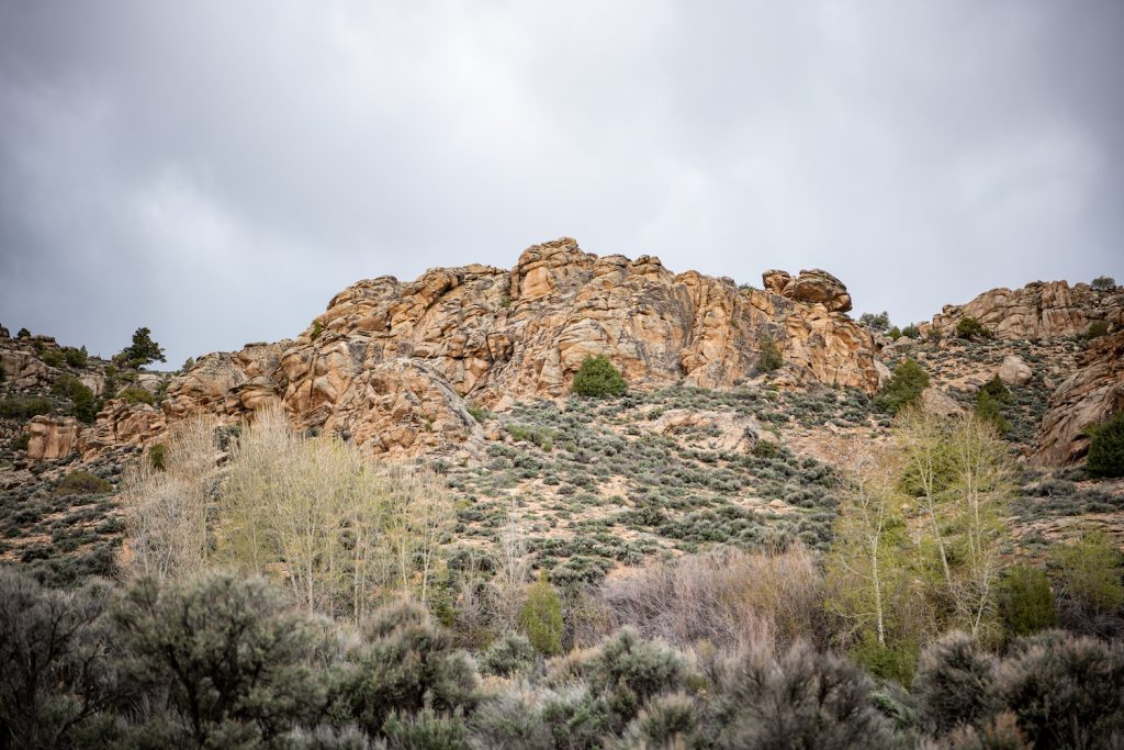
Hartman Rocks is a high desert environment. The funky rock formations are granite and over a billion years old. Hartman Rocks sits on a ring dike, which is a circular volcanic feature. This type of formation creates a magma intrusion into the surrounding rock, often found in conjunction with a caldera. Plants such as sagebrush, gambel oak, juniper, paintbrush, balsamroot and sunflowers grow abundantly.
Other things to do at Hartman Rocks
Hartman Rocks offers year-round recreation opportunities and things to do. It’s one of the first areas suitable for mountain biking and gravel biking in the spring. Most years, trails are dry and snow-free by April. Summer and fall offer rock climbing, trail running, horseback riding and off-roading. Trails are groomed for Nordic skiing and fat biking in the winter.
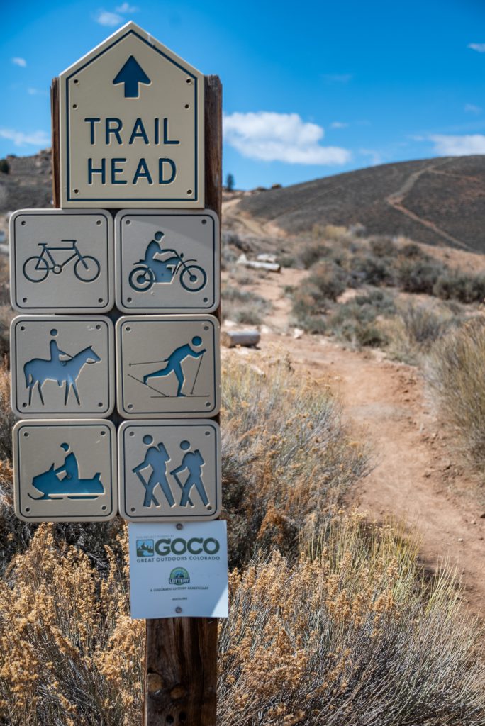
Trail etiquette at Hartman Rocks
Since Hartman Rocks is multi-use, it is important to be aware of trail etiquette.
- Uphill hikers have the right of way. Downhill hikers should step out of the way to let them pass. Bicyclists yield to hikers. Hikers must yield to horses and other pack stock.
- Make your presence known to other hikers by saying hello when passing.
- Only hike on the designated trail.
- Maintain distance from wildlife. Never feed or disturb them.
- Don’t hike if the trail is too muddy or wet. If you do encounter mud, hike through it and not around it.
FAQs about hiking at Hartman Rocks
Can I bring my dog to Hartman Rocks?
-Yes, dogs are allowed at Hartman Rocks. They must be under voice control or on a leash. Please pack out all waste.
Is Hartman Rocks good for families?
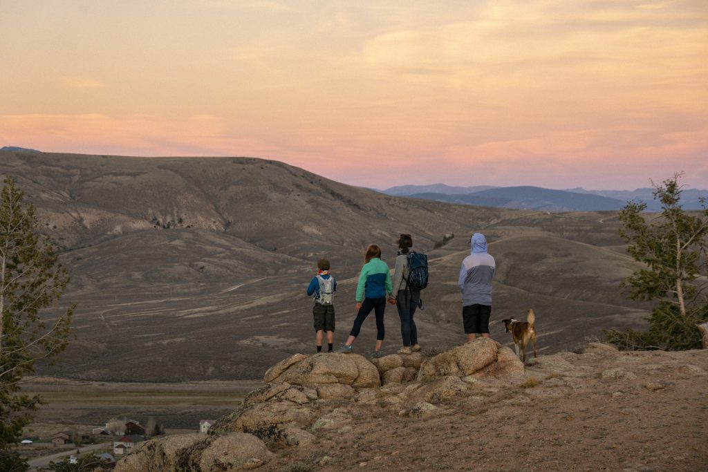
-Yes, Hartman Rocks offers many short and mellow hikes suitable for children and groups of different ability levels.
When is the best time to hike at Hartman Rocks?
-The best time of day to hike at Hartman Rocks is the morning and evening. The area does not have much shade in the middle of the day. Avoid the heat and direct sun exposure by hiking early or later in the day. The best time of year to hike at Hartman Rocks is summer and fall.
What amenities does Hartman Rocks have?
-Hartman Rocks has several bathrooms, including one at the main parking area. Find picnic tables and parking throughout the area. There is no water at Hartman Rocks, so plan to bring your own.
What do I need to hike at Hartman Rocks?
- Plenty of water and snacks
- Sun protection
- Good hiking shoes
- A map or navigation app
Favorite Gunnison Hikes
After you explore the high desert Hartman Rocks hiking trails, check out these other exceptional Gunnison Hikes.
Mill-Castle Trail – Challenging, any distance
The rugged canyon walls, towering rock pinnacles and green meadows of Mill-Castle Trail will take your breath away. The whole Mill-Castle Trail is 25-miles round trip. You can turn back at any time to make it shorter, though.
Park at the trailhead on Mill Creek Road (Forest Service Road #727). Cross Mill Creek about a mile in. In about five miles, the trail turns into steep and rocky switchbacks. The trail becomes steep over Storm Pass on the way to Castle Creek. While hiking, you’ll catch glimpses of the rock formations this trail is named for.
Lamphier Lake – Challenging, 5 miles out and back
Discover a stunning alpine lake on this hike near Pitkin, Colorado. Located in Fossil Ridge Wilderness, Lamphier Lake is a difficult hike with a high reward. Beginning at Gold Creek Campground, the trail ascends through dense pine forests. Gunsight Pass and Square Top Mountain are visible from Lamphier Lake.
Crystal Creek Trail – Moderate, 1.5-miles one way
This trail in Curecanti National Recreation Area meanders through wildflowers, Gambel oaks, aspens and conifers. It also provides stunning views of the Cimarron Valley, the West Elk Mountains and the San Juan Mountains. Two overlooks provide views of Crystal Reservoir.
More hiking information
Can’t get enough of hiking? Check out these hiking guides to get started on planning a hiking trip to the Gunnison Valley.
Best Hikes to See Wildlife in the Gunnison Valley
Trip Itinerary: Three Days of Hiking in the Gunnison Valley
Best Wildflower Hikes in the Gunnison Valley
Hike to Colorado’s Abandoned Mining Camps
10 Reasons to Hike in the Gunnison Valley
Plan your trip
Use our trip planning guide to book flights, find a place to stay and plan other things to do.
