Are businesses near Blue Mesa open?
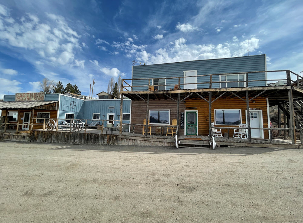
Businesses on both sides of the Hwy 50 bridges remain open! These businesses appreciate any support you can give during this time.
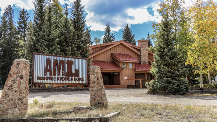
Please note that in addition to the businesses listed on this map, Arrowhead Lodge (west of the closure) is also open.

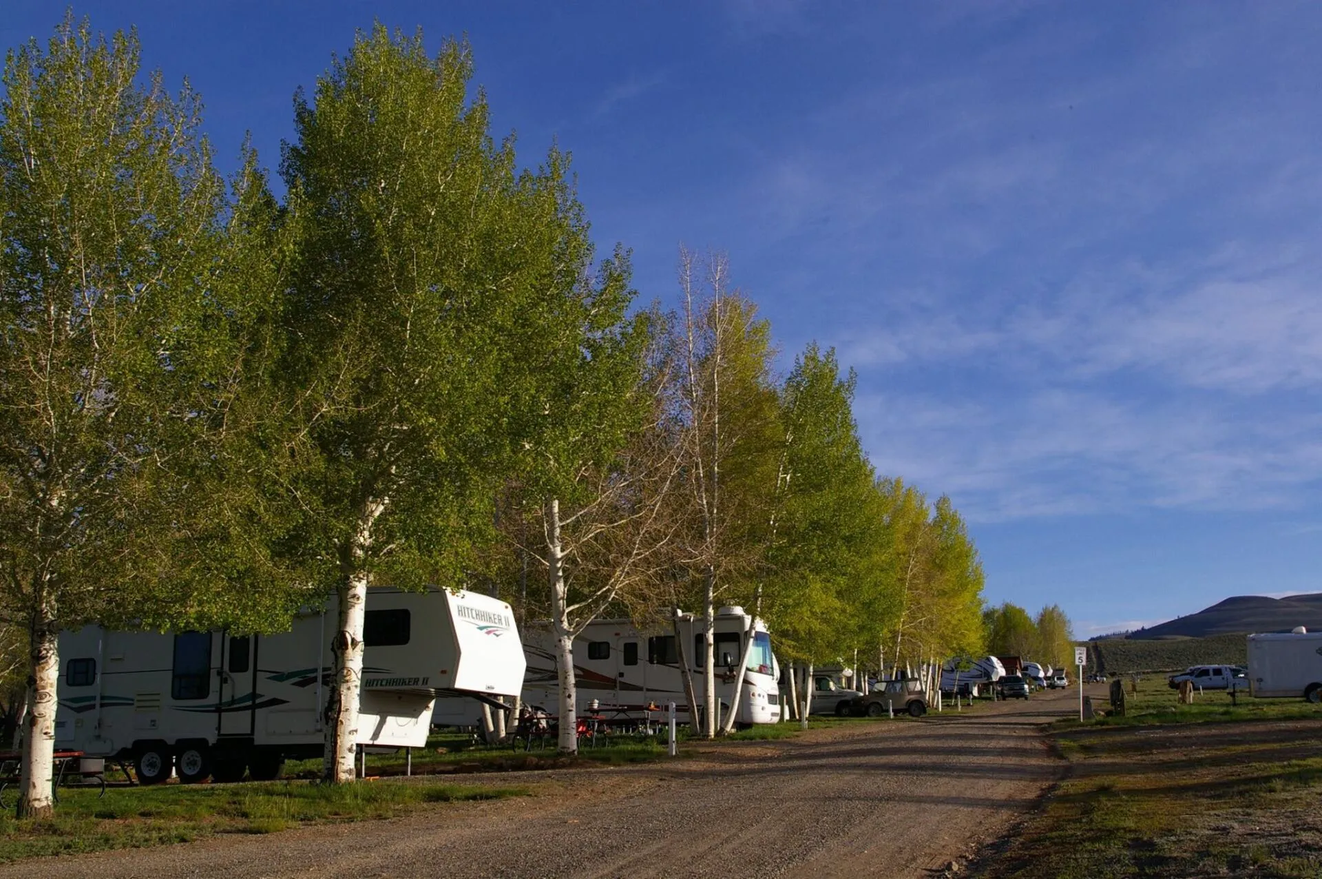
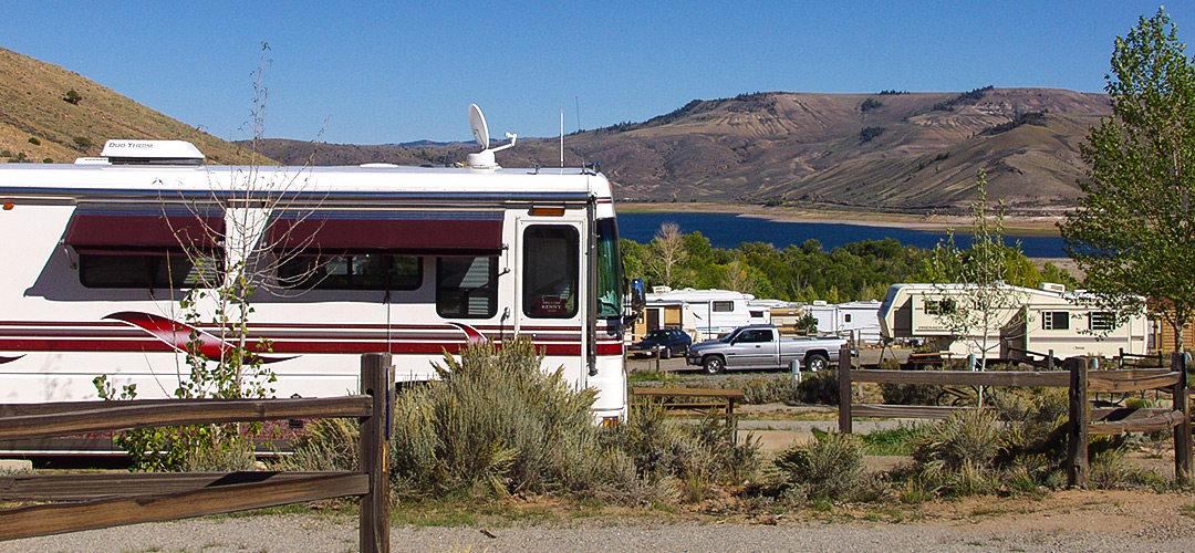
Blue Mesa businesses
The following companies who operate near Middle Bridge and Lake Fork Bridge are open for business! Learn more about lodging, camping, guided fishing trips and more.
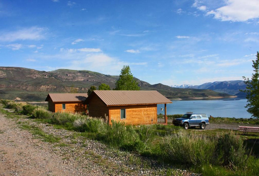
Things to do at Blue Mesa and Curecanti
Explore Blue Mesa Reservoir, Colorado’s largest body of water! Here are a few ideas for things to do at Blue Mesa:
- Hire a fishing guide for a chance to catch one of Blue Mesa’s famously huge lake trout. In winter, try your hand at ice fishing.
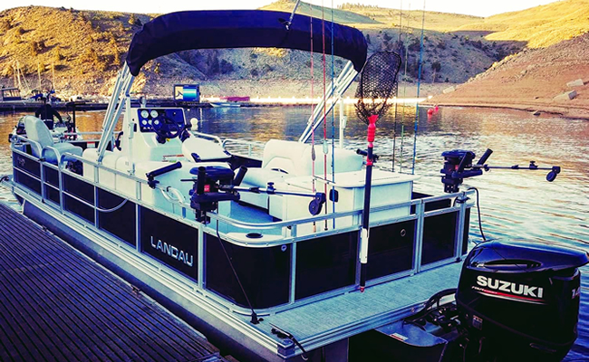
- Rent a pontoon boat for a day
- Explore the scenic, rocky shoreline from a stand-up paddleboard
- Venture deep into a rocky canyon on Curecanti Creek hiking trail
- Stay in a quaint cabin or campsite on the lakeshore
- Take advantage of a breezy day to go sailing

Fishing

Hiking

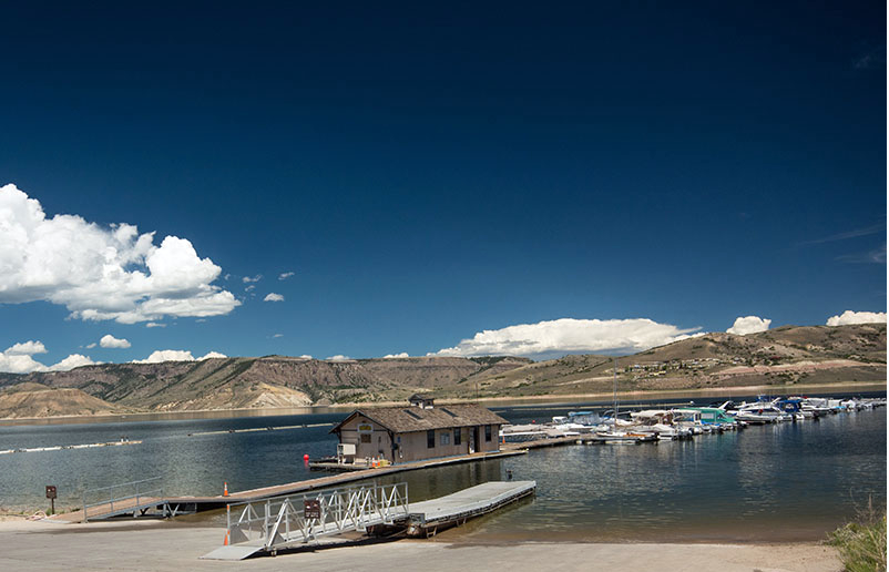
Boating

Is Blue Mesa Reservoir open?
Blue Mesa Reservoir is completely open. Curecanti National Recreation Area is also open to visitors. Learn more about things to do in and around Colorado’s largest reservoir by clicking the button below.
Helpful links
Site developed by ![]() Agency Tourism Marketing
Agency Tourism Marketing