A bridge on Highway 50 is under construction, affecting travel to Gunnison from the west. Learn more here.
Rafting, kayaking and boating
Whitewater rafting in Almont, Gunnison and Crested Butte, Colorado is a splashy, scenic and fun way to experience the beautiful rivers and canyons of the Gunnison Valley. Whether you’re hiring an outfitter for a guided rafting trip or heading out on your own, the Taylor and Gunnison rivers are the center of the whitewater rafting scene. Whitewater kayakers flock to the steep creeks around Crested Butte in the spring and early summer. The large lakes of the Gunnison Valley, including Taylor Park Reservoir and Blue Mesa Reservoir, attract boaters of all types for fishing and recreation.
The Taylor River
Whitewater rafting in Almont, Colorado
The Taylor River is a small, 22-mile river that flows from the Taylor Park Dam down to Almont, where it joins the East River to form the Gunnison River. Taylor Canyon is a beautiful canyon with tall granite walls that provide a scenic setting for a family-friendly whitewater rafting trip. The Upper Taylor offers technical and splashy Class III boating, while the Lower Taylor is a beginner’s dream with miles of Class I-II. Since the flow of the Taylor River is dam-controlled, you can expect to find boatable flows from mid-May through September. This is one of the longest rafting seasons for any river in Colorado!
Popular sections of the Taylor River
The most popular commercial rafting trip on the Taylor River is the Upper Taylor, which runs five miles from the Todd’s Slot parking lot to South Bank takeout.
The Middle Taylor is Class II-III, but is not as often run by private boaters due to private property along the river. This section is often run from South Bank (the Upper Taylor take-out) to Five-Mile Bridge.
The Lower Taylor is a classic beginner run for those learning to kayak and canoe in the Gunnison Valley. This section of whitewater is also commercially rafted and is a great alternative to the Upper Taylor for groups that want a mellow float.
FIND A RAFTING OUTFITTER
-
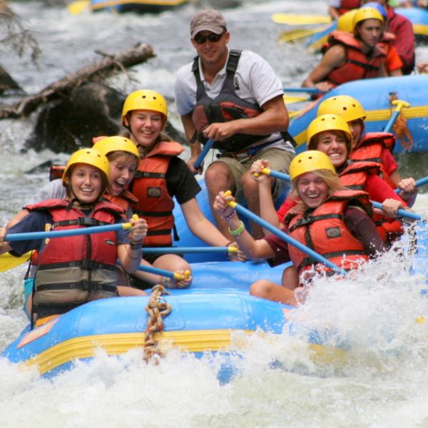
Scenic River Tours
Scenic River Tours, located in Gunnison County, Colorado, is a short drive from Crested Butte, La…More info -
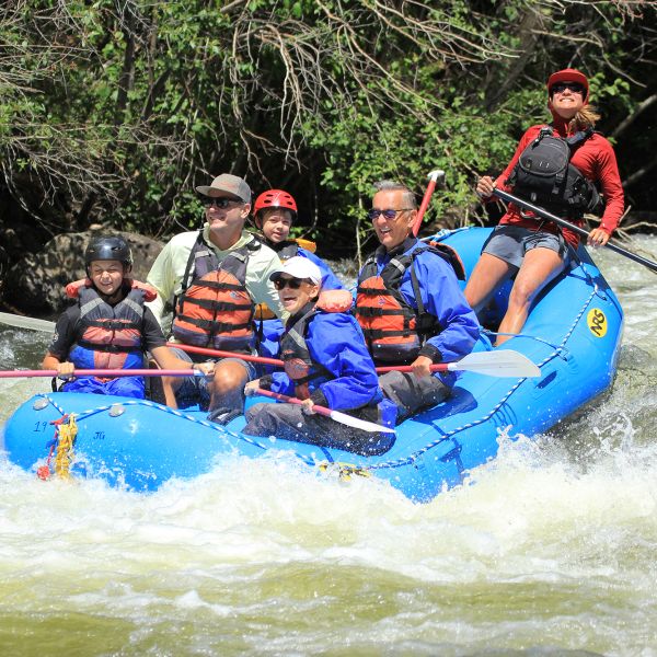
Three Rivers Outfitting
Three Rivers Outfitting at Three Rivers Resort offers rafting and kayaking trips daily in the sum…More info -
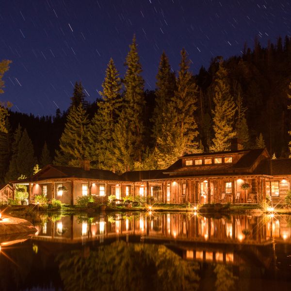
The Eleven Experience
Eleven Experience is an exclusive accommodation and experiential travel brand with a slate of lux…More info -
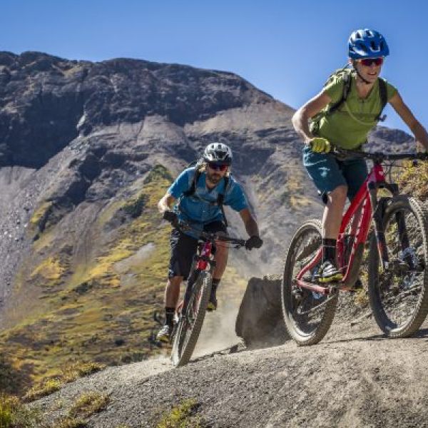
Irwin Guides
Go With A Guide We have the staff and experience to make your adventure one to remember. Join us …More info -
Three Rivers Resort
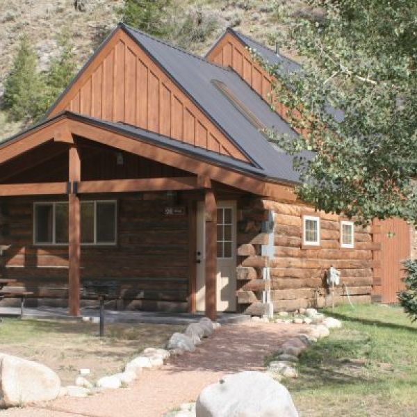
Located in Almont between Gunnison and Crested Butte at “The Gateway to Taylor Canyon,” Three Riv…More info
THE GUNNISON RIVER AND GUNNISON WHITEWATER PARK
The Gunnison River is generally very family-friendly, and several outfitters run rafting trips down the miles of easy Class I and II. One of the most popular trips is the rafting and dinner trip that runs from Almont to Gunnison throughout the summer.
The Gunnison River is generally divided into two sections. The top section is easier and runs from Almont to North Bridge just north of the city of Gunnison on Highway 135. This section features continuous moving water and some splashy Class I and II rapids with great fishing.
The bottom section runs from North Bridge to Riverway Picnic Area. Riverway is also known as McCabe’s Landing. This section is very much like the first with the exception of the short section through the Gunnison Whitewater Park. Here, man-made whitewater features are designed to be larger than the natural rapids of the Gunnison. Once you’ve made it through the Gunnison Whitewater Park’s three drops, don’t let your guard down, because Psychedelic Falls lies downstream. Care must be taken to run the right slot through the rapid. Kayakers and river surfers are a common sight on the three wave features in the Gunnison Whitewater Park.
River Etiquette
When rafting, kayaking or boating in the Gunnison Valley (and anywhere), please be courteous of all users, especially anglers. Downstream traffic has the right-of-way. Many of the rivers in Almont, Gunnison and Crested Butte run through private property. Unlike Montana and other popular fishing and boating destinations, in Colorado, private landowners can own the riverbed. Getting out of your boat or dropping anchor on private property is trespassing.
Adaptive boating
The Adaptive Sports Center facilitates whitewater rafting trips and other river activities for people with disabilities.
FLATWATER BOATING AND SUP
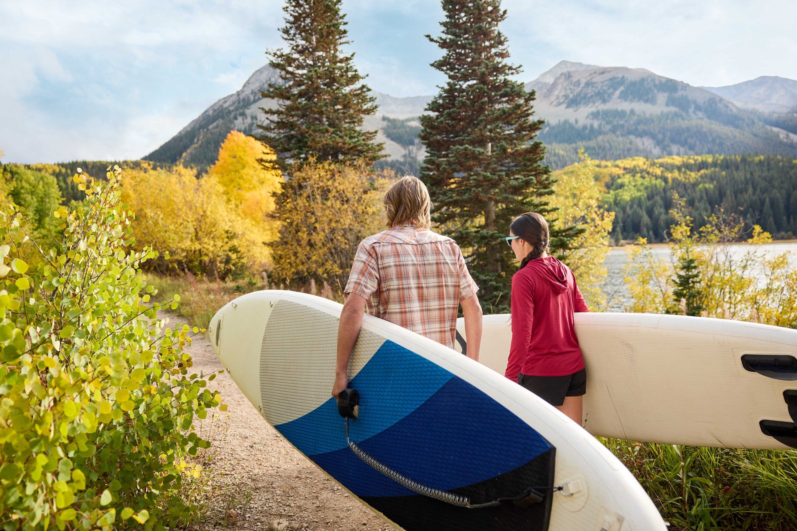
Stand-up paddleboarding allows you to explore shorelines, take in the scenery, and enjoy the peace and quiet of the Gunnison Valley’s lakes and flat rivers.
The easiest lakes to access are Taylor Park Reservoir, Blue Mesa Reservoir, Lake Irwin, Emerald Lake or Spring Creek Reservoir. You can drive right up to the shores of these lakes. For intrepid paddleboarders who are comfortable hiking with their board, check out Lost Lake and Long Lake.
The Slate River between Brush Creek Road and Cement Creek Road is floatable during certain times in spring. This section of river provides an up-close view of the west side of Crested Butte (the mountain). Much of the Slate River runs through private property and areas heavily populated by wildlife. Concerns about the use of the river and the affects on property and wildlife have been expressed. Future boating on the Slate River depends heavily on good behavior from all floaters. Please consult this guide to learn about access, the no-float period, and other good river etiquette to make sure you’re helping and not hurting future access to this stretch of river.
Motorized boating in Gunnison and Taylor Park
There are two locations for motorized boating in the Gunnison Valley: Blue Mesa Reservoir and Taylor Park Reservoir. Both offer some of the best fishing access in Colorado as well as gorgeous mountain views and Colorado’s famous summer sunshine. Be aware that mornings can often start with bluebird skies and no wind, but this can quickly change as storms form in the afternoon.
Blue Mesa is your best bet if your idea of a day on the lake is tubing, water skiing, or sunbathing on the bow. It sits at a lower elevation so it’s typically a bit warmer. Since it is Colorado’s largest body of water, it isn’t hard to find a spot all to yourself for the day. Boat inspections are required at your launch point before slipping into the water. You are required to have a two-day or annual pass. Elk Creek and Lake Fork are the two main boat ramps, but Steven’s Creek, Iola, and Soap Creek are open during the busy summer season.
Taylor Park Reservoir is smaller than Blue Mesa, but the scenery is off the charts. The Collegiate Peaks tower over this high-altitude lake. The only boat launch is at the Taylor Park Marina, located just past the dam as you drive up Taylor Canyon on County Road 742. Boat rentals are available at the marina as well.
Whitewater kayaking
Kayaking in Crested Butte
Crested Butte is home to several of Colorado’s notorious steep creeks. Kayakers flock to these creeks during spring runoff, which can happen anytime between April and June. Ruby Anthracite, Oh Be Joyful, Upper Daisy Creek, and the North Fork of the Slate are all within a short drive of downtown Crested Butte. Oh Be Joyful Creek is a tributary of the Slate River and includes several 10-20-foot waterfalls. Oh Be Joyful can be accessed by hiking from the Oh Be Joyful campground. Ruby Anthracite is often run by hiking in from Kebler Pass Road on Forest Service Trail 836 for 3 miles to the intersection with Ruby Anthracite Creek. Paddle the continuous Class IV from here to Erickson Springs Campground. This riverbed is one of the most dynamic in the state and as a result boulders, trees, and landslides can often change things dramatically from year to year. Upper Daisy Creek is reached by driving or hiking even further up Poverty Gulch. There are only a few extra slides and drops and they are easily seen and scouted on your way up.
Kayaking in the Black Canyon of the Gunnison
For boaters looking for a classic overnight trip through one of the most beautiful and intimidating river canyons in the United States, look no further than the stretch of the Gunnison River through the Black Canyon of the Gunnison National Park.
This is a trip that late-night campfire stories are made of. Two thousand foot granite walls rise up from the rivers edge and monstrous boulders often cause the river to disappear into hidden sieves and siphons. Although most of the rapids can be portaged, groups should be prepared and skilled enough to run multiple Class III-V rapids with serious consequences scattered throughout. One large mandatory portage is located in the heart of the canyon and involves approximately 1.5 miles of boulder hopping, poison ivy, and at least two ferries across the river to continue the portage. This trip is often done as an overnight, but for talented and fit groups that are familiar with the run it can be done in one day. Most people take out at Chukar Trailhead and hike the one mile trail up to the parking lot. High-clearance vehicles are recommended for the road to Chukar, but four-wheel drive is not required.
The best thing about the Black Canyon is that it is dam-controlled river and often runs during the shoulder seasons when everything else has gone dry. Look for the USGS Gunnison River below Gunnison Tunnel to be above 500 cfs as a minimum. Between 500 and 700 cfs the run features several extra mandatory portages. Between 700 and 1200 cfs is optimal for most groups and most rapids fill in negating several portages in exchange for some extra Class V.
For those wanting to extend their whitewater trip in the Black Canyon, a long day or an easy overnight trip starts at the Chukar Trail and ends at the Pleasure Park near Delta. This section includes lots of fun Class III and some IV at higher levels. This section of the Black Canyon can be run in a hard shell at levels as low as 300cfs. Fishing in this section is famous for turning up very large rainbow and brown trout.
Whitewater rafting and kayaking the Lake Fork of the Gunnison
The Lake Fork of the Gunnison River runs from Lake City, Colorado to Blue Mesa Reservoir. The main section to run here is from Red Bridge Campground to Gateview Campground. This section feature lots of Class III and several larger Class IV rapids. The whole run is about 4.5 miles and the road follows it the whole way on a retired railroad grade so you can scout the river as you set shuttle. Optimal flows for the Lake Fork are 500-2000 cfs on the USGS Lake Fork at Gateview gauge. The Lake Fork usually runs for just a few weeks in late spring.
More ways to have fun on the water
-
Trip Itinerary: A Colorado Spring Weekend Getaway to Crested Butte and Gunnison
Have you considered a Colorado spring weekend getaway? Spring is a quiet time of year to visit Gunnison and Crested Butte. Experience a mellow atmosphere, the first desert wildflowers and […] -
Lakes in Gunnison and Crested Butte
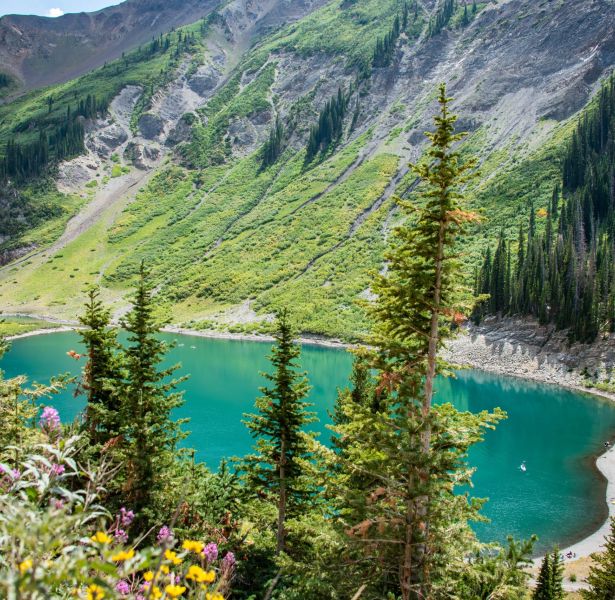
There’s nothing more refreshing on a hot Colorado day than a dip in an alpine lake or a day at the reservoir. Luckily, there’s plenty of water for recreation in […] -
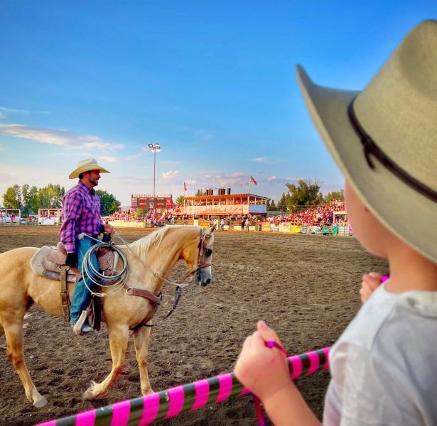
Five Family Friendly Summer Activities in Colorado
Words and photos by Danica Bona The Gunnison Valley is for Family Colorado is known for its stunning natural beauty, outdoor recreation and family-friendly adventures. The mountain towns in the […] -
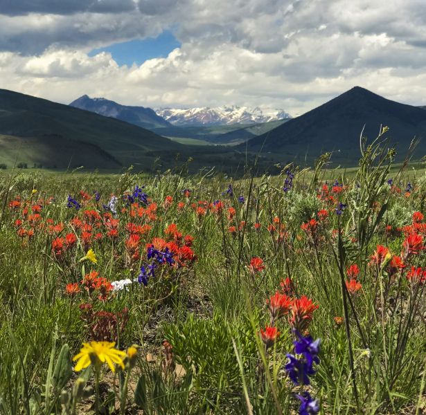
Things to Do in Almont
Almont, Colorado is located between Gunnison and Crested Butte on Hwy 135. From Almont, you can access many of the things to do that Colorado is known for. This small […] -
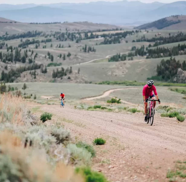
Spring activities in Gunnison and Crested Butte
What is there to do in spring in Crested Butte and Gunnison? April, May and June in the Gunnison Valley bring warmer temperatures and melting snow. The best spring activities […] -
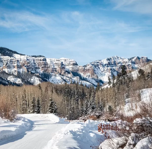
Frequently Asked Questions About Visiting Gunnison
Considering Gunnison for your next Colorado vacation? You might have some questions about visiting Gunnison and the surrounding area. What is Gunnison like? Are there kid-friendly activities in Gunnison? What […]
SUBSCRIBE TO OUR EMAIL NEWSLETTER!
We'll send you travel tips and news twice a month. Unsubscribe anytime!


