The bridges on Hwy. 50 between Gunnison and Montrose are now OPEN 24/7. Learn more here.
Black Canyon of the Gunnison National Park
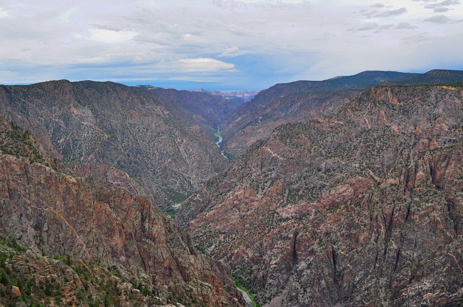
The Black Canyon of the Gunnison National Park is the closest National Park to Crested Butte and Gunnison. This steep, scenic canyon was formed by the Gunnison River over the course of two million years. The Black Canyon earned its name from the shadows that often obscure its depths. At its narrowest point, it’s just 40 feet wide at the river. Because of how narrow it is, some parts of the canyon only receive about a half hour of daylight per day. The deepest part of the canyon is 2,722 feet. The canyon is composed of several types of ancient Precambrian gneiss. The distinctive walls of the Black Canyon are grayish-black with pink veins. Activities in Black Canyon National Park are mostly limited to sightseeing and walking. Adventurous travelers might opt for scrambling, rock climbing, whitewater kayaking, backpacking and fishing.
Where is the Black Canyon?
The Black Canyon of the Gunnison begins at Blue Mesa Dam, at the west end of Blue Mesa Reservoir. It extends fourteen miles northwest from there. There are two main access points to the park, the North Rim and the South Rim. The visitor center is located at the South Rim. The entrance to the South Rim is about 13 miles east of Montrose or 61 miles west of Gunnison on Highway 50.
What is there to do at Black Canyon National Park?
Black Canyon National Park activities
The South Rim
From Highway 50, drive seven miles north on Highway 347 to get to the South Rim Visitor Center. In summer, drive the scenic South Rim road to access viewpoints, including Chasm View and the Painted Wall. There is one inner canyon scrambling route, the Gunnison Route, that requires a permit. There are also several short, non-technical hiking trails. There is one campground on the South Rim. During winter, the South Rim road is closed to vehicles and groomed for cross-country skiing.
The East Portal
The East Portal is accessible by driving east on the East Portal Road from the South Rim park entrance. The road is paved, but very steep. There is a campground and two primitive trails to the bottom of the canyon. The section of the Gunnison River accessible from the East Portal is designated as gold medal trout fishing waters.
Red Rock Canyon
Red Rock Canyon is part of the inner Black Canyon, which is a designated Wilderness area. It is accessible from the southwest side of the South Rim. A permit is required to enter. From the parking lot, there is a 3.5-mile primitive trail down to the Gunnison River. Red Rock Canyon is most commonly visited by anglers keen to fish the Gold Medal waters there. Hikers and backpackers may be attracted to the inner canyon access, which is remote and challenging, but slightly easier than some of the scrambling routes in the National Park.
The North Rim
From Highway 92 three miles south of Crawford, drive west on Black Canyon Road to access the North Rim of the Black Canyon. There are several hikes and scrambling routes in this part of the canyon. There is also one campground. Roads on the North Rim are not maintained in winter.
Other public lands near the Black Canyon
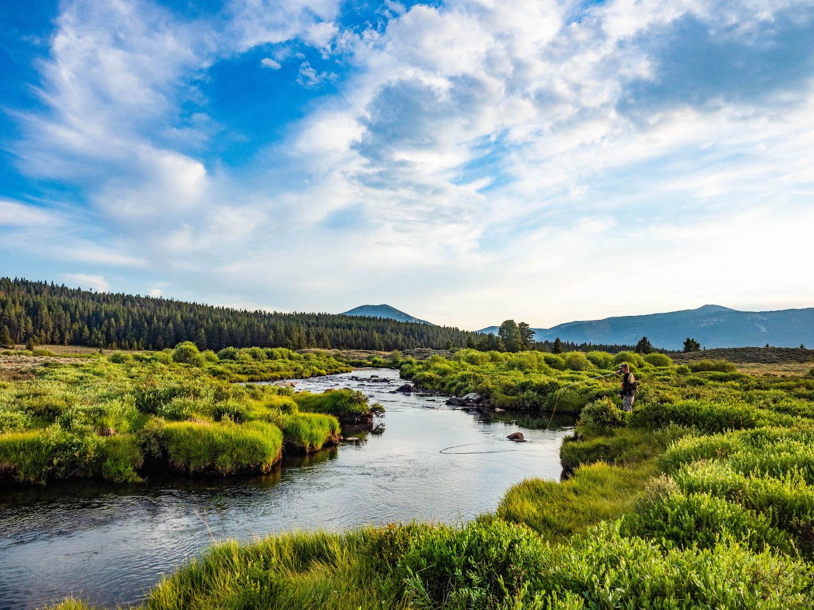
Black Canyon National Park is surrounded by millions of acres of other public lands. Its neighbor to the east is Curecanti Recreation Area, which encompasses Blue Mesa Reservoir. Curecanti also boasts some incredible canyon views, hiking and fishing. Also to the east of Black Canyon lies a large swath of Gunnison National Forest, including the West Elk Wilderness. This wild area is beloved by backpackers and hunters. Farther towards Gunnison is Hartman Rocks, where mountain bikers can ride nearly 50 miles of technical, high-desert MTB trails. Anglers who enjoy the gold medal trout fishing in the Black Canyon might want to explore Taylor Canyon and Taylor Park, which are also home to gold medal waters.
More things to do near the Black Canyon
Looking for other things to do during your trip to Black Canyon of the Gunnison National Park? Here are some ideas to get you started!
-
Gunnison vs. Sedona Mountain Biking
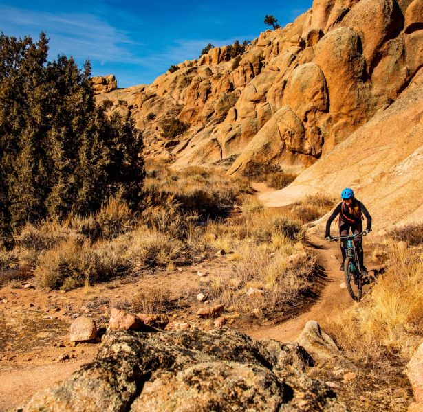
Are you considering Gunnison vs Sedona for a mountain biking trip? Both destinations offer desert riding, have public lands to explore and many trails to ride. You probably have some […] -
Trip Itinerary: A Colorado Spring Weekend Getaway to Crested Butte and Gunnison
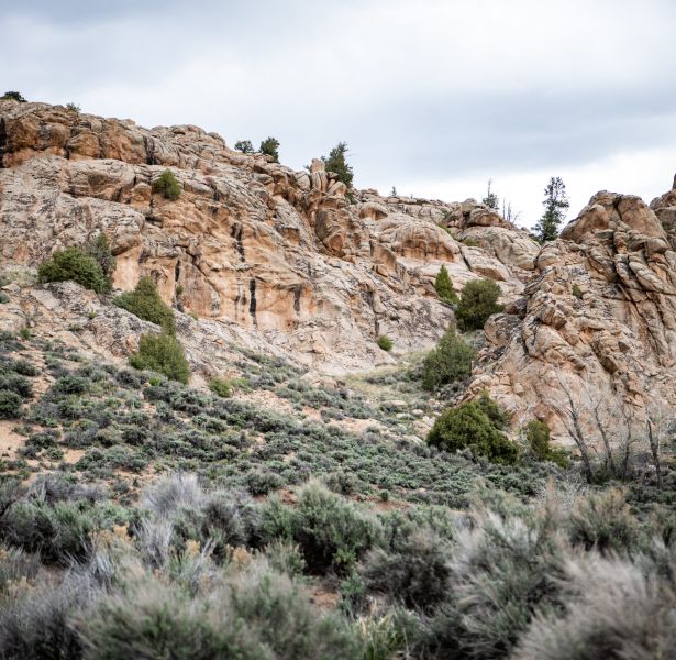
Have you considered a Colorado spring weekend getaway? Spring is a quiet time of year to visit Gunnison and Crested Butte. Experience a mellow atmosphere, the first desert wildflowers and […] -
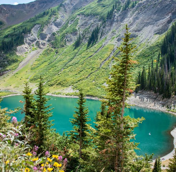
Lakes in Gunnison and Crested Butte
There’s nothing more refreshing on a hot Colorado day than a dip in an alpine lake or a day at the reservoir. Luckily, there’s plenty of water for recreation in […] -
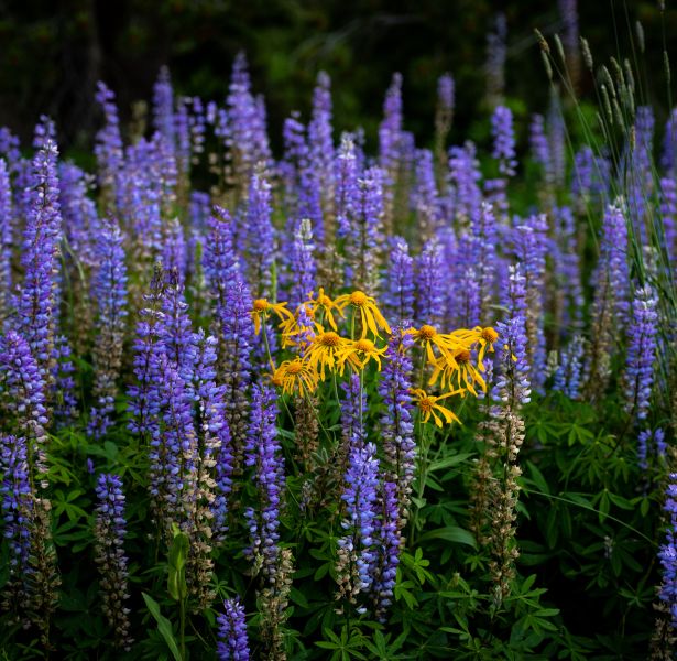
Best Places to Take Photos in Gunnison and Crested Butte
Beautiful mountain scenery is a huge draw for visiting Colorado. Many people reach for a phone or camera to take photos of the scene. With over two million acres of […] -

Spring Hikes in Crested Butte and Gunnison
Never get caught on a snowy trail with this handy guide to spring hikes in Crested Butte and Gunnison! Collected in this article are some of the trails that melt […] -
Frequently Asked Questions About Visiting Gunnison
Considering Gunnison for your next Colorado vacation? You might have some questions about visiting Gunnison and the surrounding area. What is Gunnison like? Are there kid-friendly activities in Gunnison? What […]
SUBSCRIBE TO OUR EMAIL NEWSLETTER!
We'll send you travel tips and news twice a month. Unsubscribe anytime!
