4 Favorite Colorado Hikes for Families Near Crested Butte
Check out a list of four great family-friendly hikes:
The Gunnison Valley offers plenty of family-friendly hikes that balance big scenery with manageable terrain near Crested Butte and Gunnison. From stroller-friendly river paths to short forest adventures and scenic lake loops, these four trails grow in difficulty while staying doable for kids.
- Options range from the flat, paved Van Tuyl Loop in Gunnison to the more challenging but rewarding Three Lakes Trail on Kebler Pass.
- Beaver Pond and Mill Castle trails add adventure with wildlife sightings, picnic spots and dramatic rock formations.
- All hikes are easily accessible by car and can be shortened or turned around to match kids’ energy levels.
______________________________________________________________________________________
There are over a thousand miles of hiking around the Gunnison Valley. Many are very remote and strenuous. With young children, I have found some of the more family-friendly Colorado hikes around the area. Here is a breakdown of a few of my favorite Colorado hikes for families, starting with the easiest and working toward the more challenging ones.
1: Van Tuyl Loop
The closest trail to civilization, the Van Tuyl Loop, leaves out of the Northwest corner of Gunnison. Head West on Spencer Avenue, past the stoplight by Walmart. From there, take a right onto Quartz Hill Rd and left on Palisade Ave. Palisade Ave ends at Charmar Park, the main parking area for the Van Tuyl Loop.
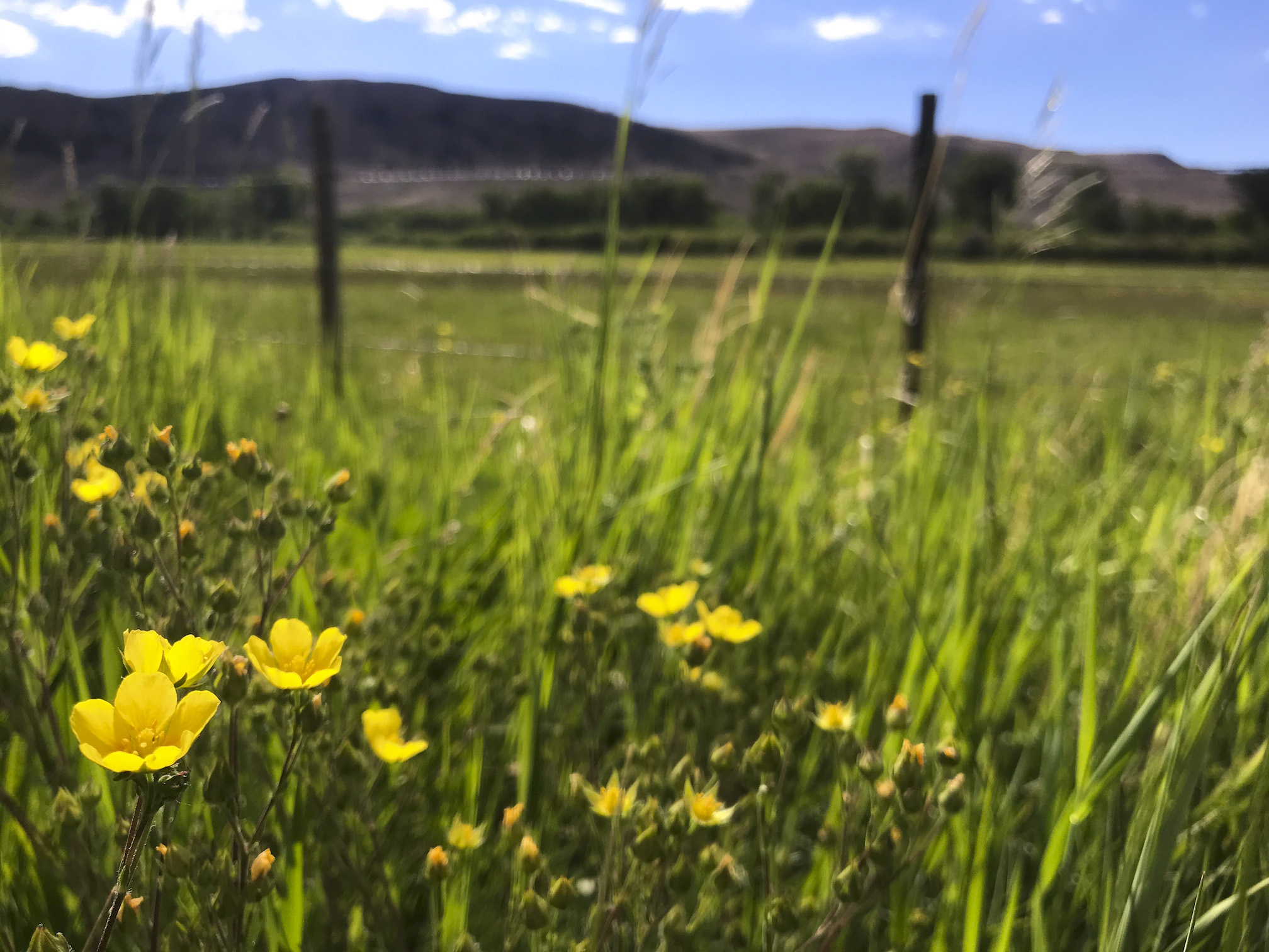
This Colorado hiking trail is a well-manicured gravel path that loops through the grazing area for Parker Pastures. There are multiple areas with great access to the Gunnison River for fishing or just skipping stones across the water. Rolling pastures and cottonwood trees are backdropped by the Palisade rock formation. The manicured path allows for strollers, wagons, or any other craft your family wants to bring along.
2: The Beaver Pond Trail #516
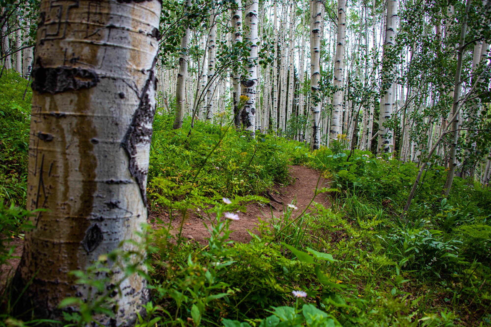
From Crested Butte, travel west on Whiterock Ave and continue on Kebler Pass Road. Just past the turnoff to Irwin, take a left onto Ohio Creek Road (Forest Service Road #730). Travel south on Ohio Creek Road for approximately 3 miles. The Beaver Ponds Trailhead is well marked. From the trailhead, there is about a half-mile hike through dense aspen forest.
The plants and flowers typically grow as tall as you are. At the top of the trail is the actual Beaver Pond. Beavers can sometimes be seen slapping their tails on the surface of the water. I like to bring a nice picnic next to the water. This is a short but adventurous hike with little ones.
The drive is beautiful, too. If you want to make a loop out of it, you can continue down Ohio Creek Road and see the West Elks Wilderness and Castle Mountain. Eventually, you pop out just north of Gunnison on Highway 135.
3: Mill Castle Trail #450
From Gunnison, travel north on Highway 135 for approximately 3.5 miles to its intersection with Ohio Creek Road, County Road #730. Travel northwest on Ohio Creek Road for approximately 9 miles to its intersection with Mill Creek Road (Forest Service Road #727). Follow Mill Creek Road for approximately 4.5 miles to its end at the gate. There is a parking area with bathrooms at the trailhead. While you can drive a bit further up the road to another parking area, I tend to stop at the bathroom facilities with the kids and then take the easy hike up the road to start.
The full trail is around 13 miles, but I have never hiked the whole thing with kids. The first 5 miles or so are pretty easy going; beyond that, the terrain gets rough. The trail, as an out-and-back, is perfect for kids. At the first sign of whining, I just turn around. The trail starts with a mix of aspen and evergreen trees.
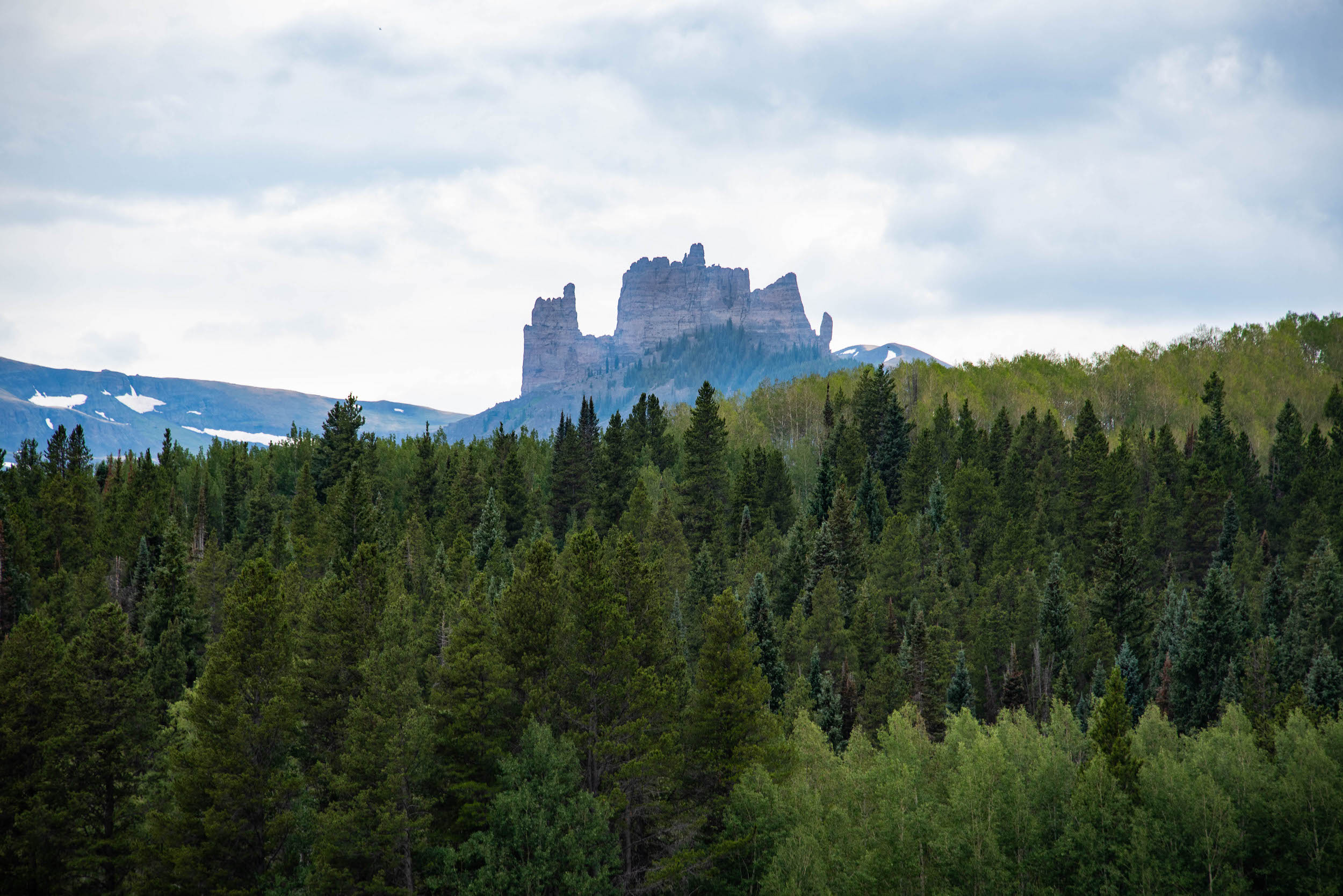
Before long, the views of the towering West Elk Breccia formations can be seen. Around 30 million years ago, there were large pyroclastic eruptions in the West Elk Mountains. The larger and harder clastic pieces of rock hold up to the erosion better than the mud/ash matrix that they sit in. Over the years, these harder pieces create a protective umbrella from erosion. The result is the sheer cliffs you see in this wilderness area.
4: Three Lakes Trail #843
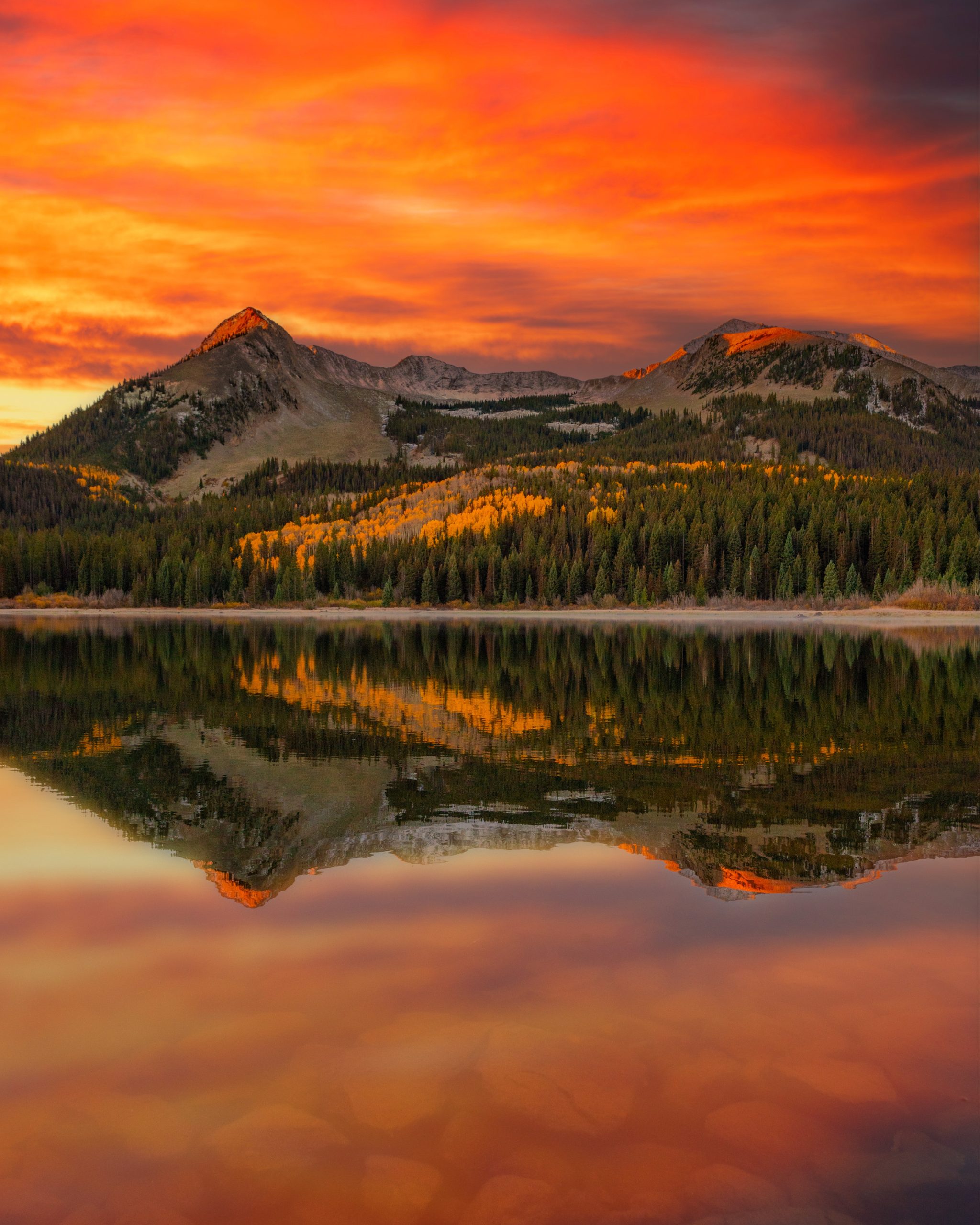
Travel west on Kebler Pass Road (Gunnison County Road 12) for approximately 16 miles to Forest Service Road #706: Lost Lake Road. Follow FSR #706 for two miles to its end at Lost Lake Campground. Parking for hiking or horseback riding is to the right past the horse camping and day picnic area. The loop has great views of the whole Kebler Pass aspen stand and is one of my favorite Colorado hikes in the Fall.
As the name implies, you pass by three lakes on the route. The trail climbs up as high as Dollar Lake, a natural spring-fed lake. The trail then loops back down and around to Lost Lake and the campground. This one is the hardest trail on the list, but the extra effort is worth it for the views.