Mountain Manners: Big Snow Year
2019 was a winter for the books. With precipitation for the winter at 134% of average, and 185% of average for May alone, it’s taken a bit for our trails and forest roads to start drying out. Things are coming along nicely now, but there are still some considerations for visitors and locals alike if playing in the woods is part of the game plan.
Etiquette: Share and Respect the Trails
With many of our high-elevation trails still holding snow, many recreationalists are pursuing their fun down low. This means that you may see more people than usual on your bike ride, hike, or horseback. Be courteous, smile, and say hi. After all everyone is just out to have a good time, and nothing spoils that faster than someone with a bad attitude.
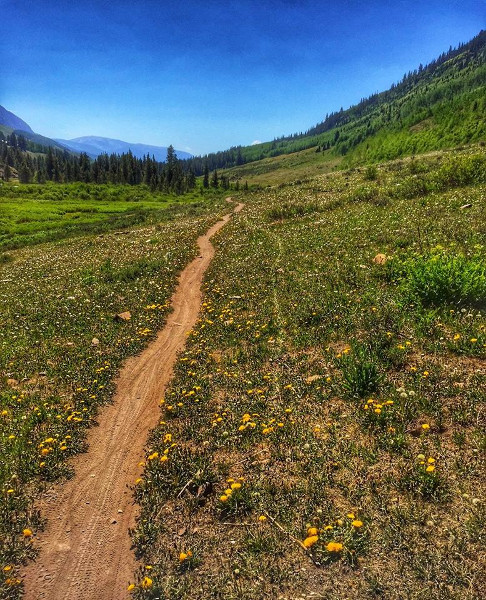
While you’re on trail you may find that there is still lingering mud and water where you want to ride. Always pony up and ride or hike through the mud. Going around widens the trail and eventually turns it into a mud pit that remains even in dry years. Chances are your feet are going to get wet at some point. It’s always better to deal with a little discomfort over ruining a trail for seasons to come.
Have a Plan B
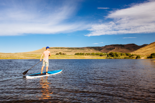
It’s always good to have a Plan B when you head into the mountains. This year it’s even more important. There’s ice still covering Lake Irwin and you want to paddleboard? Maybe try Blue Mesa or Lost Lakes. Headed out to ride Teocalli Ridge and the creek crossings are too high? Deer Creek or a loop at Strand Hill may be a better option.
Safety: Don’t Get Stuck
Vehicle damage is one of the most permanent and long-lasting impacts on our natural landscape. One of the easiest ways to avoid it is to stop well before you’re in a risky position. Getting your truck stuck in a snowbank, river crossing, or mud pit is not only embarrassing, but it leads to resource damage and can close roads to future travelers. Yes, you may have to walk or ride your bike a little further, but a backcountry towing bill is not cheap.
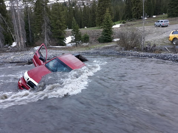
Keep your vehicles on existing roads as well. The Forest Service has regulations in place regarding this, but it’s just good advice, too. If there’s standing water on the road, there’s probably mud and a good place to get stuck. Remember that just because mudding is fun and allowed back at home doesn’t mean it’s appropriate to do it here in the Gunnison Valley. Our roads and the dirt that makes them up is different from other places and it can take a long time to turn a mud pit back into a passable road.
Manners: Try a Developed Campground
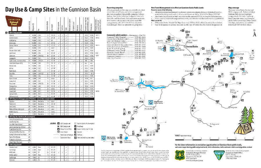
Forest roads that normally service excellent dispersed camping sites may not be passable until later in the year this summer. Crowding into a dispersed site with other groups has the potential for conflict, especially when that group of 20-something folks wants to stay up until 2am around the campfire. Fortunately the Gunnison Valley has tons of developed campgrounds managed by the BLM, Forest Service, and Park Service. These campgrounds are fairly inexpensive, and you get the bonus of quiet hours, picnic tables, and a bathroom. Check out the map below for a full map of all our developed campgrounds.
Safety: Watch the Water
Big snow means big water when it all comes out of the mountains. River levels have been high this year, and will continue to be high for weeks to come. Ride or hike with a buddy so you can watch each other’s backs on river and creek crossings. It’s also a good idea to unbuckle your pack so you can ditch it if you find yourself swimming. Find appropriate places to paddleboard and float. During a year like this that likely means a lake instead of a river.
Help: Ask For Information
The Visitor Centers in Gunnison, Crested Butte, Mt. Crested Butte, and Gothic are great resources for planning your trip and getting the inside scoop. Their trained staff has an ear to the ground and can point you in the right direction.
Other great sources of information include your local bartender or server or the folks working at fly fishing stores and bike shops. For a full rundown of what trails are good, go to the Crested Butte Mountain Bike Association’s website and access their trail report that’s updated regularly.
